Hiking Mt. Dana in Yosemite National Park
Table of Contents
For a challenging, yet roadside accessible High Sierra Alpine experience, the trail to Mt. Dana is awesome hike. Straddling the Eastern edge of Yosemite National Park, Dana’s barren summit dominates the sky over Tioga Pass. Hiking Mt. Dana rewards you with great views, and bragging rights for getting up Yosemite’s second highest peak.
Related: Mt. Dana made it onto my list of Yosemite’s Hardest Hikes.
Trail Stats-Dana At a Glance
Distance: 5.2 Miles, Out and Back
Elevation Gain: 2,906 Feet
Difficulty: Unrelenting Uphill Challenge
Time To Hike: Allow 4 hours, round trip.
Trailhead Location: Start at Yosemite’s Eastern entrance, just off Tioga Pass.
Trailhead Elevation: ~10,000’
Mt. Dana Height: 13,061’
This Trail Lacks: Dense Air
This Trail is Abundant in: Butterflies, rocks with cool stripes, and other pleasantries.
Mt. Dana Map
Yosemite’s Penultimate Peak
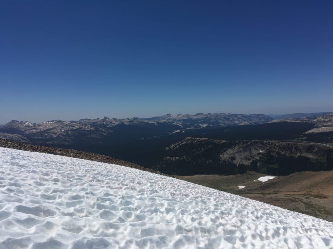
Mt. Dana rises to a grand height of 13,061’. Such great heights soar high above Half Dome, Clouds Rest, and even Cathedral Peak. It’s a tall mountain-not as high as one of the nearby California 14ers, but a worthy summit in it’s own right.
From Dana’s vantage point, hikers can be quick to forget that Dana is actually only the second highest peak in Yosemite. The trophy for the tallest peak goes to Mount Lyell, just edging Dana out of the top spot. Lyell tops Dana by a razor thin margin of 50 feet. To us humans, 50 feet is a decent length. To a mountain, 50 feet is peanuts.
In the face of physical height, I’d still put Mt. Dana ahead of Mt. Lyell. Mt. Lyell is not nearly as easily accessible as Mt. Dana. Dana is next to the road, for gosh sakes, whereas Lyell requires a much more arduous approach. I have not yet hiked Mt. Lyell, but I’d bet okay money that the view from Mt. Dana is better. Heck, hiking Mt. Dana might be the best way to train for Lyell.
The Hike
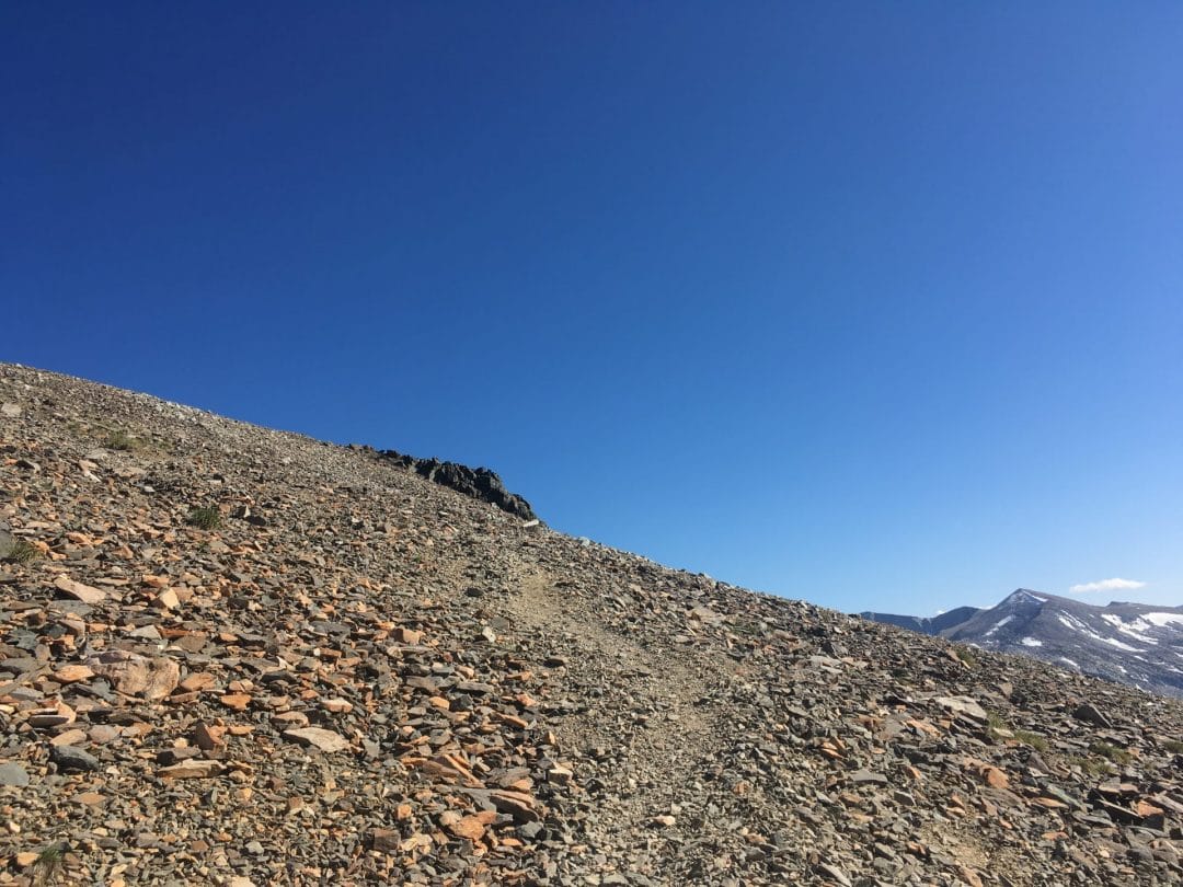
Mt. Dana’s Trailhead begins at the Eastern entrance to Yosemite National Park, just before highway 120 descends Tioga Pass. To access the trail, you can park at one of several pullouts. The trail follows a worn path, heading directly south from the entrance station. Walking to the trailhead might involve weaving through stopped traffic, just FYI.
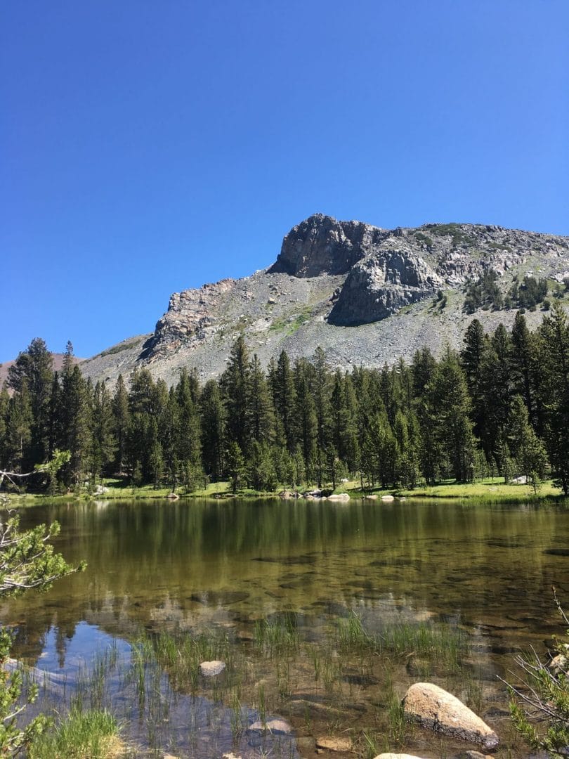
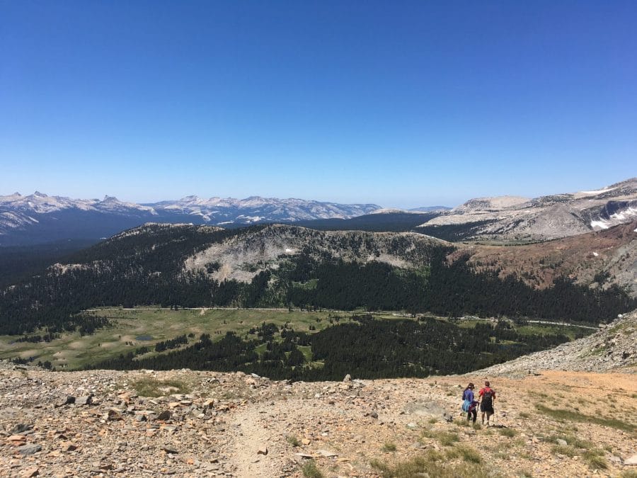
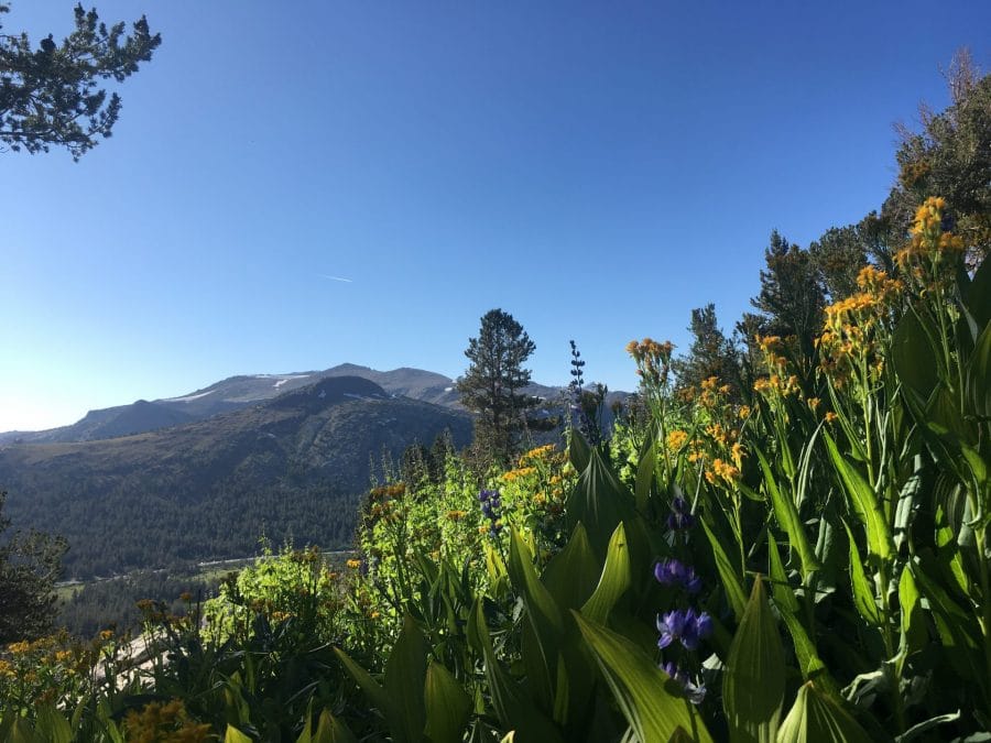
The initial portion of the hike is very easy going as you walk past ponds, and through forest cover. Hiking closer to Mt. Dana, the trail soon starts to trend uphill. There were many wildflowers covering the lower parts of the slope, fed by snowmelt from above. They were pretty enough to distract me from noticing the altitude.
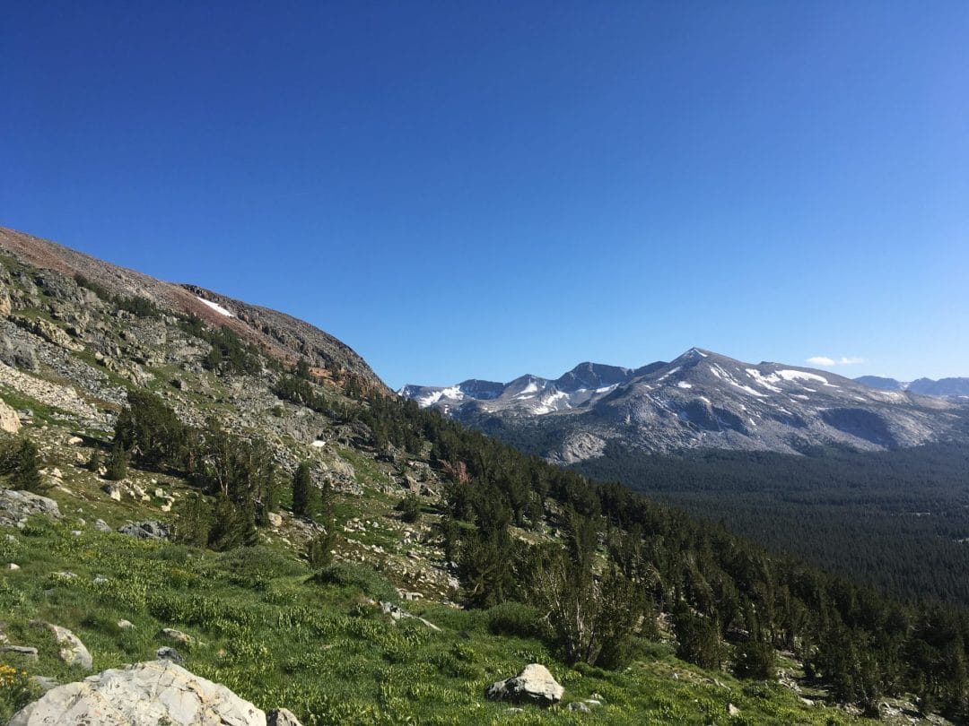
There’s not a lot of oxygen on Mt. Dana, so to speak. The Mt. Dana trailhead begins at 10,000 feet- the cruising altitude of many bird species, low flying aircraft, and Superman (probably). As you hike uphill, the calm hike turns tough as the trail takes you up and up into a barren alpine environment. The trees fall away, leaving only vast fields of shattered metamorphic rock, and a few persistent snow patches.
This rock represents the land that existed long before the Sierra Nevada came into being. As the Sierra Nevada batholith emerged from the earth’s mantle, it pushed up these rocks ahead of it. Mt. Dana was much smaller, before the Sierra Nevada gave it a boost.
From afar, Dana looks vaguely purplish-brown. It is visible from much of Tuolumne, forming a picturesque background to an already beautiful landscape. But up close, Dana’s rocks are made up of cool purple and green stripes. Neat!
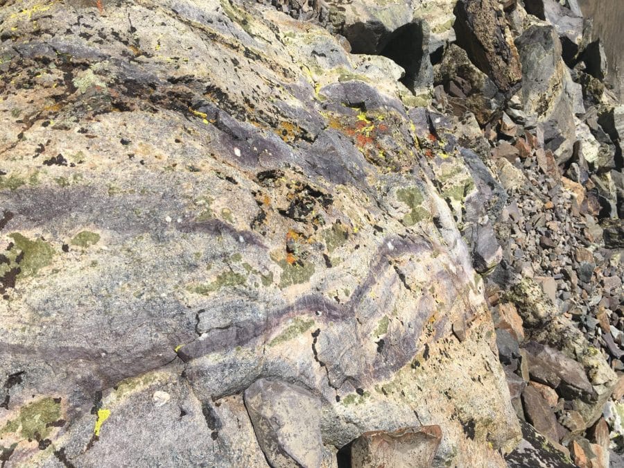
Scree
Mt Dana is giant, free standing scree slope. The upper portions of this hike don’t really follow a trail. It is more of a rough path through talus. Portions of the trail can feel like liquid beneath your feet. Hiking your way to the summit may require trekking poles for stability, and good, comfortable footwear. The altitude and exposure call for good sun protection, and extra water.
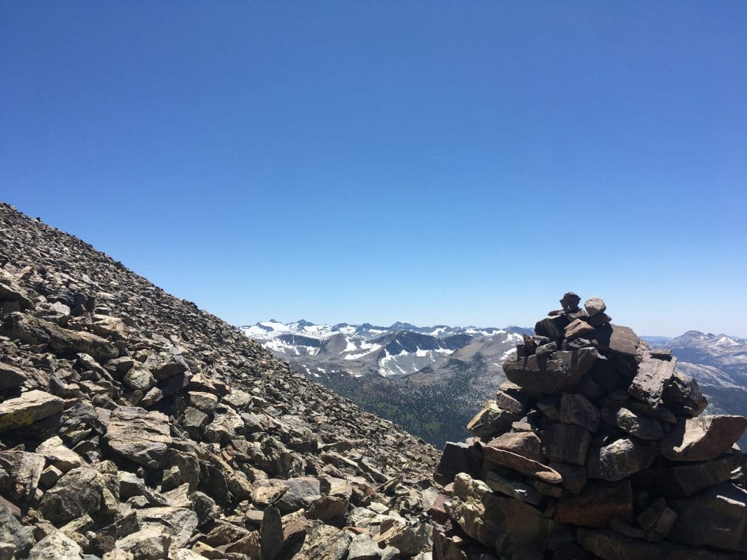
The only break from the uphill hiking comes at about the halfway point. You arrive at a wide, flat area. There is a small wind shelter here, and you can peer down Mt. Dana’s watershed, and see where the snow melt turns to creek
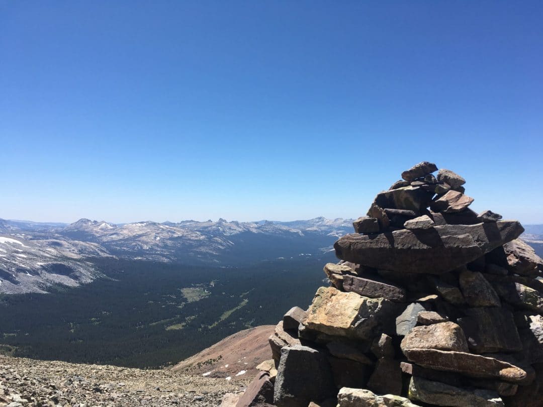
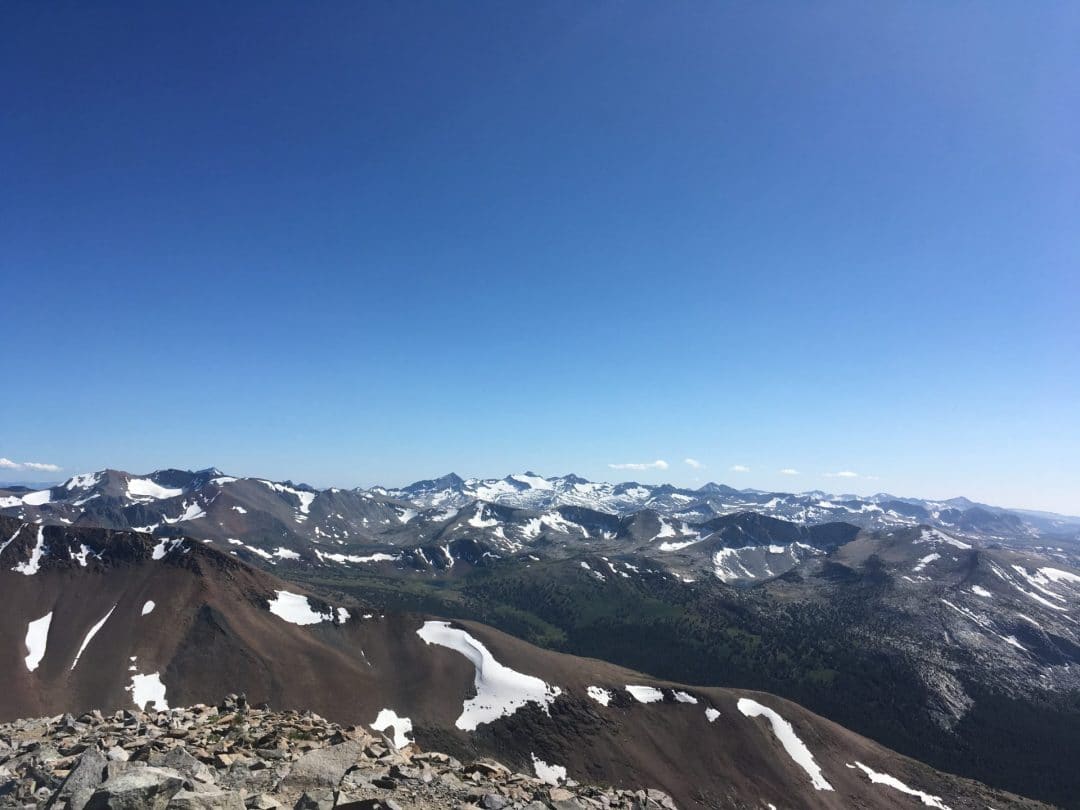
Those who make it to the summit are rewarded with the best views anywhere, trumping even those from Clouds Rest. You stand on the dividing line between the Sierra Nevada, and the Great Basin-the vast desert between California and the Rocky Mountains. The views are equally magnificent. Most of Yosemite, the High Sierra, and Mammoth is in view. Mono Lake, with it’s volcanic islands and Tufa Towers shimmers at the foot of the mountains.
The Summit
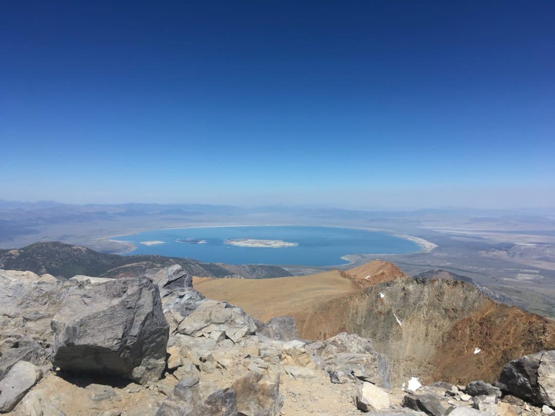
As I am want to do, I took a cat nap at the summit (I’m establishing summit napping as a new sport). Something about the warm, alpine sun just makes me want to lie down and snooze. Not many other people were on the summit, but there sure were plenty of Alpine Butterflies, just fluttering in the thin air like it was nothing.
Thanks to the shifting integrity of the talus trail, hiking down was tougher than hiking up. Gingerly, I made my way down, testing my chosen path before committing to a step. A few times, rocks would move beneath my feet, throwing me off balance. My advice might be to just stay in the track worn as the unofficial trail, connecting the dots between each cairn. With careful hiking, you’ll be back down to your car in no time.
TL;DR-Why You Should Hike This Trail
Thanks to the altitude, relentless uphill hike, and loose nature of Mt. Dana’s trail, this trek earns itself a solid difficulty grade of “Hard”. It’s not too long, but every other quality makes for a fun challenge.
Mt. Dana is ideal for hikers looking to get into Alpinism, Mountaineering, or to train for longer hikes like the John Muir Trail. Hiking Dana felt much like hiking in the alpine of the Colorado Rockies, or other mountainous locales. Training or not, Mt. Dana is worth tackling just for the amazing views.
Need Gear for Your Hike?
I’ve hiked all over Yosemite. Literal months of my life have been dedicated to hiking, backpacking, and rock climbing in this beautiful National Park. Take it from me, a veteran Yosemite hiker, when I tell you what hiking gear you should pack along, and what you can leave back at camp.
That’s why I’ve put together this handy Hiking Gear Buying Guide, full of hand picked gear recommendations. The gear is perfect for beginners and experienced outdoors-folk alike, and will help to make your Yosemite hiking trip safer, happier, and more fun.
- The Best Campsites Around Big Bear California - February 26, 2021
- Hiking to the Hollywood Sign Via the Brush Canyon Trail - July 13, 2020
- Dirt Cheap Hiking and Backpacking Gear: The Most Affordable Gear on the Internet - July 4, 2020
