Hiking East Canyon and Rice Canyon in Santa Clarita
Table of Contents
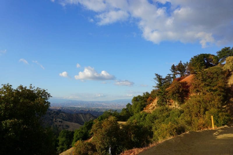
Santa Clarita is in denial. Denial that we live in a hot, dry desert. We call it “Mediteranean”, whatever that means. One thing is certain-the summers are long, the winters are warm, and tumbleweeds bounce freely down canyon roads.
But, if you know where to look, curious hikers can find gems in the hills above Santa Clarita. Not literal gems, but forests of pine and fir. Lush, cool havens, holdouts of the Ice Age. Hikers that grow tired of stark desert and need only hike a few miles up the East and Rice Canyon Trails. These trails remind me more of the Pacific Northwest than a ‘Mediteranean’ California.
For many years, East and Rice Canyon were my default local hiking trails. Together, they provided escapism.
Before I discovered the subtle beauty of the desert, I would seek out the microclimates hidden from Santa Clarita. Hiking among these alpine stands, I could pretend to be elsewhere.
Any Los Angeles hiker should venture into East and Rice Canyons. Where these shady canyons harbor a unique ecosystem, stunning views look over the urban sprawl of the city. Less crowded than nearby Towsley Canyon, there’s something for every hiker in East and Rice Canyon.
Related: The 9 Best Hiking Trails in Santa Clarita
Santa Clarita Woodlands Park
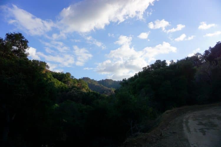
Like nearby Towsley Canyon, East and Rice Canyons reside within the Santa Clarita Woodlands Park. Set aside for the benefit of Los Angeles Hikers, the Santa Clarita Woodlands Park is a 4,000 acre nature preserve, harboring some of Southern California’s most diverse woodland.
East and Rice Canyon form the southern end, while Towsley, Pico Canyon, and Mentryville fill in the rest. The city of Santa Clarita, together with the Mountains Recreation and Conservation Authority have done a great job of preserving open spaces on the city’s edge.
These protected areas not only provide great hiking trails, but also protect vital wildlife corridors. Deer, Black Bear, Coyote, and Mountain Lions can roam freely, safe from habitat destruction.
How to Reach East and Rice Canyons
To reach East and Rice Canyons, simply drive south on The Old Road from Stevenson’s Ranch. After passing Towsley Canyon and Ed Davis Park, you will pass a church on your right. Shortly after is the parking area for East and Rice Canyons.
Some Stats
Parking Fee?: Yes. $5 to park at the trailhead. Or you can park along the Old Road for free.
Bathrooms?: No. Hold it, or pack it out.
Park Hours: Sunrise to Sunset. The rangers will give you a ticket, should you stay too long after closing.
Wildlife: Deer, Coyote, Bobcat, Mountain Lion, Black Bear, and many, many bird species.
Trail Difficulty: Rice Canyon is Easy, while East Canyon is Moderately Strenuous.
Rice Canyon
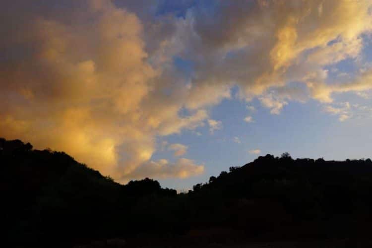
Of the two Trails, Rice Canyon is the easiest. With little elevation gain, Rice Canyon is a gentle amble through a verdant canyon bottom. Green Meadows, Wildflowers, shady oak trees, and a seasonal stream make for a pleasant, secluded hike.
Rice Canyon Trail Stats
Distance: 2.6 Miles, out and back.
Elevation Gain: 350 feet
Difficulty: Easy
Time to Hike: 45 Minutes, round trip.
Rice Canyon Map
The Hike
Rice Canyon is a good spot to get away from the chaos of urban life. It is secluded,calm, and a good spot to have a picnic, or to enjoy a book. The calm, green environs of Rice Canyon welcomes all hikers and nature lovers.
To reach Rice Canyon, follow the main trail from the parking lot. It’s only walk before the trail splits right to head up canyon. Take this fork, and walk through a clearing to the Oak Trees beyond.
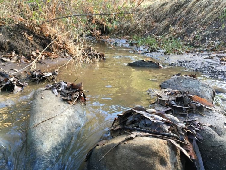
If it’s been a wet year, Rice Canyon’s stream will be flowing. This small but steady creek nourishes a healthy riparian ecosystem. The trail crosses this creek numerous times. Logs and rocks might be in place to assist your crossing. Otherwise, you must brave the mud and water, or divert around.
At Just over 1 mile in length, the Rice Canyon trail is short. Nearing the end, the trail gains some elevation to a wide, grass covered Terrace. This is a comfortable spot to end your hike. Views down the canyon follow the stream to it’s mouth. Upstream, sheltered coves on the mountainside protect a small, but hardy grove of Fir Trees.
During your hike, you’ll notice several small trails diverting off to side canyons. I did not get a chance to explore these, but I would have liked to. These are not official trails, and are likely not maintained by trail stewards.
Where the trail concludes at the river terrace, you’ll notice a few smaller paths continuing up the mountainside. I took some time to check these out, but they quickly dissolved into an overgrown network of game trails.
Getting up here provides an extra challenge, steeply climbing up the hillside. With a little bushwhacking, hikers could make their way deeper into Rice Canyon.
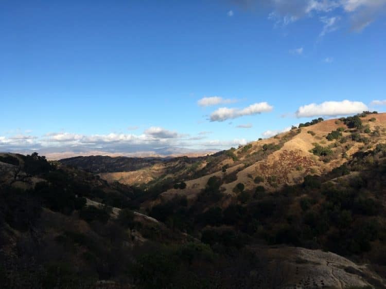
To exit Rice Canyon, hike back the same way that you came from. Returning to the trail fork, you can turn left to return to the trailhead, or make a right, and continue up East Canyon for a harder hike.
Hiking East Canyon
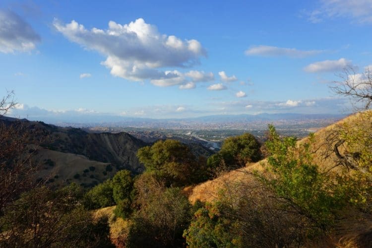
More challenging than Rice Canyon, East Canyon climbs a switchbacking fire road to a prominent ridge. Up here, surrounded by pines, hikers can view into both the San Fernando, and Santa Clarita Valleys.
East Canyon Trail Stats
Distance: 6 Miles, Out and Back
Elevation Gain: 1,163 Feet
Difficulty: Moderately Strenuous
Time to Hike: Allow 3 Hours, Round Trip. Extra Time to enjoy the views.
East Canyon Map
The Hike
Hikers, Runners, and Bikers looking for a workout need not seek further than East Canyon. Unlike the soft touch of Rice Canyon, East Canyon climbs a winding road to high ridgeline. The trail travels past the intersection with Rice Canyon, heading into a narrow canyon.
Switchbacks climb the mountain to a ridgeline. From this perch, hikers are afforded a unique view overlooking both the Santa Clarita, and San Fernando Valleys.
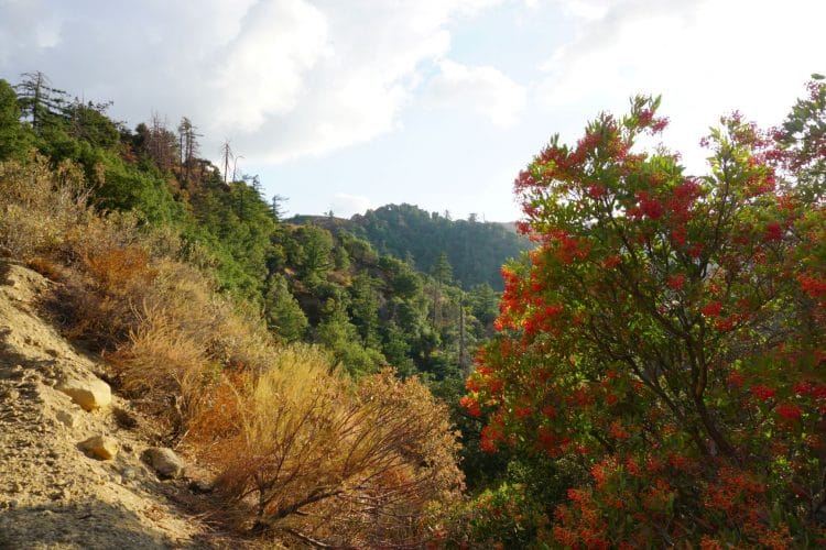
As I mentioned, what first drew me to East Canyon was it’s unique mini-ecosystem. It’s upper slopes are just cool and moist enough to support a hardy stand of Bigcone Douglas Fir-a pine species found only in Southern California.
One interesting historical side note: On some maps, the East Canyon Trail is marked as ‘Saugus to the Sea’. Like the Bigcone Fir trees, this too is a remnant of a bygone. Many moons ago, a planned road through East Canyon would have connected the Santa Clarita Valley to the Simi Valley, thus bypassing the congested Newhall Pass.
Sadly, ‘Saugus to the Sea’ never came to be. Now, in hot, smoggy LA traffic, drivers may only dream of a shortcut-a speedy escape from the mire.
Well, we may not have the road we needed, but at least we can go hiking.
To Mission Point (or not)
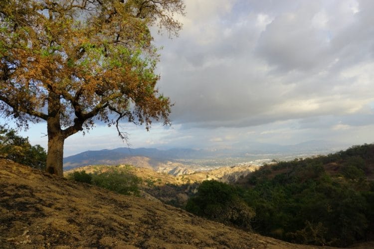
East Canyon more or less Ends at a locked gate. This is property of SoCal Edison, and hopping the fence can land you with a hefty trespassing charge. Most hikers turn back here.
If you are so inclined, your hike doesn’t need to end at East Canyon’s terminus. At the gate, veer left onto the Sunshine Canyon mountainway, and hike beyond to Mission Point!
I have never visited Mission Point, but I will someday. I’m sure it’s lovely, and if it’s anything like the views from the top of East Canyon, then it will be totally worth the extra 4 miles added onto your round trip.
The Saddleridge Fire
In October, 2019 the Saddleridge Fire burned through the Newhall Pass. Spurred on by the Santa Ana winds, the Saddleridge fire would go on to destroy several structures, and sear 8,800 acres. East Canyon was graced by the fire, but was thankfully stopped by luck, and the hard work of brave firefighters.
During my visit one month later, bright pink fire retardant, dropped by airplanes in an effort to halt the fire, covered much of the canyon. You can follow the path of the plane as it dropped it’s payload to create large, pink swathes across the mountains.
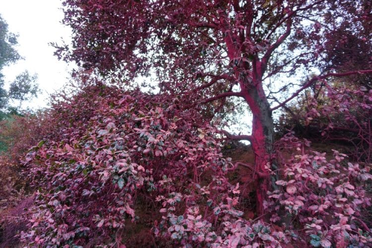
Known as Phos-Chek, this compound is designed to slow the spread of wildfire. It is a common tool, deployed frequently during the California fire season. Phos-Chek is not known to be toxic to humans or wildlife.
You Should Hike These Trails If…
You tire of the same old Chaparral hiking of Los Angeles and Santa Clarita. If you can’t get up to the Sierras, East and Rice Canyons provide a pleasant retreat from the city.
Both of these trails are fairly short, and it will not take most hikers more than afternoon to complete them. For the views, the workout, and the ecology, East and Rice Canyons are both worth visiting.
- The Best Campsites Around Big Bear California - February 26, 2021
- Hiking to the Hollywood Sign Via the Brush Canyon Trail - July 13, 2020
- Dirt Cheap Hiking and Backpacking Gear: The Most Affordable Gear on the Internet - July 4, 2020
