Hiking Clouds Rest via Yosemite Valley: The Stairway to Heaven
Table of Contents
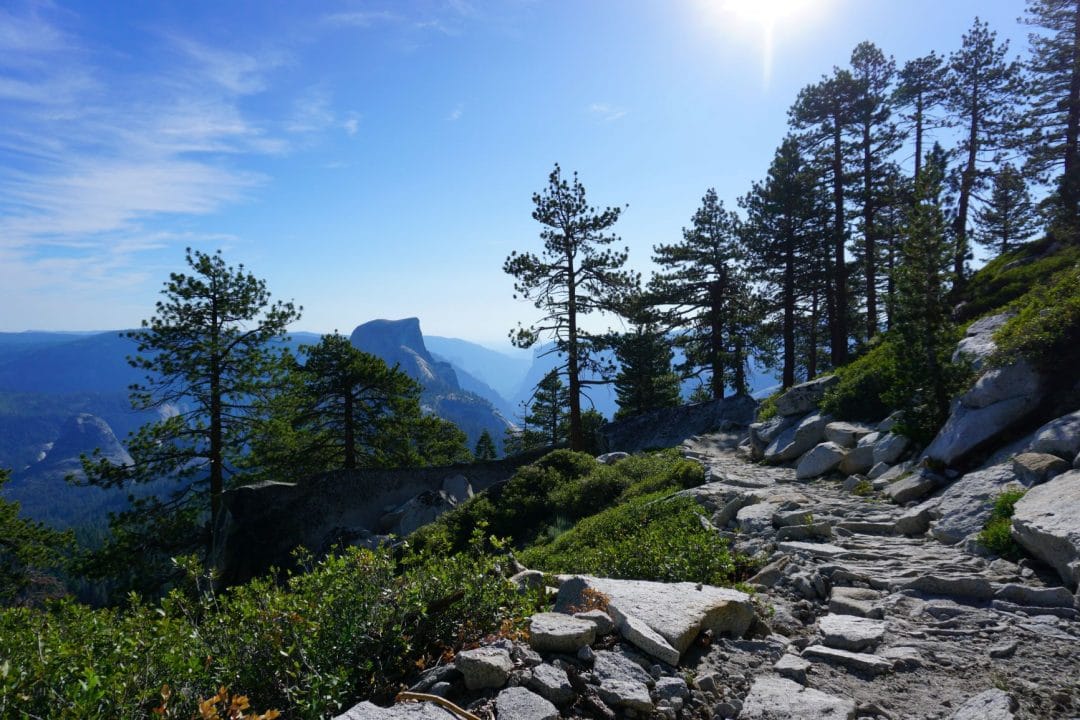
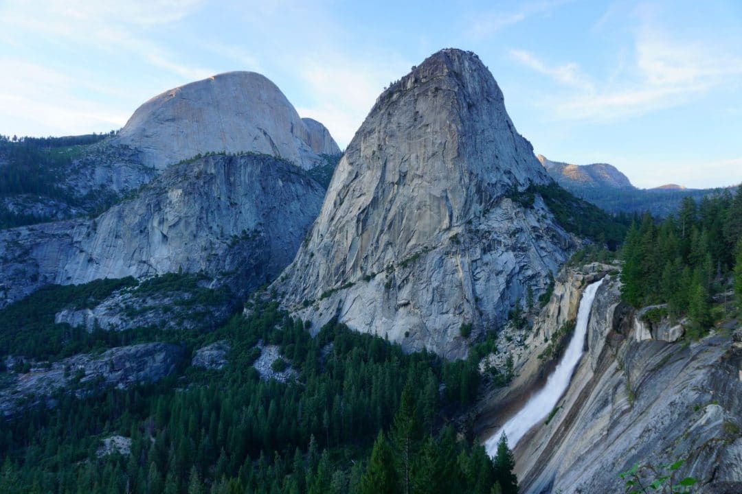
Hiking to Clouds Rest from Yosemite Valley may just be the most difficult day hike in the whole park. Over the course of 10 miles, hikers gain nearly 5000 feet in elevation. Many famous Yosemite landmarks must be overcome in order to ascend Clouds Rest. First, the Mist Trail must be surmounted, up past Vernal and Nevada Falls.
Hikers join the John Muir Trail as it ambles through the Little Yosemite Valley. Half Dome, as infamous and drawing as it is, will have to be ignored. In some ways, Clouds Rest is more like the final boss of Yosemite Valley Day Hikes. Half Dome may be the more famous hike, but Clouds Rest looms quietly in the background-as if pulling the strings from it’s lofty, innocuous perch. It’s like the Emperor to Half Dome’s Darth Vader.
Looking for New Hiking Gear?
Click the Banner Below to see our Highest Rated Hiking Gear! From Tents to Trail Running Shoes, this is the gear that we never leave at home!
Stats
Difficulty: Extreme! Not for the inexperienced, the frail, or the faint of heart.
Length: 20 Miles, out and back
Elevation Gain: 5000 feet
Summit Elevation: 9,931’
Trailhead: Happy Isles
Cables?: Nope
Permits?: None Needed
Bathrooms: Bathrooms can be found at Happy Isles, and at the Vernal Falls bridge
Water Sources: The Vernal Falls Bridge, Merced River in Little Yosemite Valley, and a spring along the trail.
Trail Map
The Trail-Happy Isles to Little Yosemite Valley
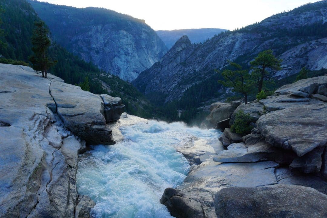
Like the Mist Trail, Half Dome, and the entirety of the John Muir Trail, the hike to Clouds Rest has humble beginnings at Happy Isles. The crowds start off thick, though you’ll find that as you hike farther, and climb higher, less and less people will be seen on the trail. Most folks never trek past Vernal Falls, and after the Half Dome junction, the trail is nearly deserted.
I don’t think I’ve ever seen so few people on a Yosemite Day hike as I have on my way to Clouds Rest. I hiked up on a Sunday, normally a busy day in the Valley. My whole day was spent on the trail, and I counted only one other hiker heading up to Clouds Rest. Such low traffic is likely due to the relative obscurity, and difficulty of the hike, but I found it surprising nevertheless.
Clouds Rest is more commonly approached from Tenaya Lake (you can read more about that hike here). Tackling The Rest from Tuolumne seems like an easier trek. Hikers start at higher elevation than Happy Isles, and the mileage is more gentle. Many of these parties were packing overnight gear-opting to spend a night between Tuolumne and Yosemite Valley. On another weekend, in another summer, backpacking from Tenaya to The Valley would be a fun path to travel.
On Water (a lack thereof)
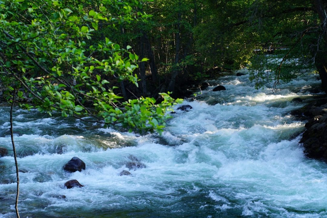
Once past Nevada Falls, take the John Muir Trail into Little Yosemite Valley. Ahead is a backpackers camp, complete with a backcountry Ranger Station. A sign warns Half Dome Hikers that the Merced River is the last place to grab water before the ascent. I’d take heed, if I were you. This warning goes doubly for Clouds Rest hikers, where the elevation gain, difficulty, and exposure is more intense than the Half Dome Cables Route. Don’t be like me, where I had to ration the last few sips of my water for the hike down. Instead, carry more than 2 liters, and a backup water purification method.
There is no water on the Half Dome trail, and only a small trickle of a stream graces the Clouds Rest Trail. Just to be safe, I recommend filling up here. Once the trail starts climbing out of Little Yosemite Valley, the difficulty doesn’t let up.
Up, Up, and Away
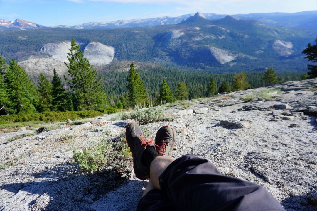
Continue on the John Muir Trail as it turns south out of Little Yosemite Valley. Here and there, you’ll get views of the back side of Half Dome. Look closely. You can just make out the line of hikers climbing up the cables route. They look like little bugs from this distance-like ants lining up on a picnic muffin. What you don’t see are hikers scared for their lives, clinging to the cables and holding up the line. That is one perk to hiking Clouds Rest in lieu of Half Dome.
The trail junction marks the rough halfway point to the summit. From here, the trail begins to switchback through mixed conifer forest, and Manzanita patches. At one point, hikers pass a small spring-a welcome trickle for a hot day.
To the South and East, the Clark Range takes over the skyline, rising high above the glacier carved Merced River valley. These jagged, metamorphic peaks will remain at your back for much of your climb, but I paused many times to admire them.
In fact, I paused many, many times on this hike. I was really taking my sweet time. Having just gotten back from making partial loop of the High Sierra Camps, my hiking muscles were still recovering. Instead of taking a rest day between hiking, climbing, and housekeeping (like I should have) I pushed myself to get up to Cloud’s Rest. My time in the park was drawing to a close, and I really wanted to bag this peak-both for myself, and for the readers of Hike The Planet!
Clouds Rest and So Do I
Embarrassingly, Cloud’s Rest kicked my figurative butt. It’s a cool achievement to make it all the way up here, but before I could reap my reward, I found a nice flat rock, and closed my eyes. “Just to rest my eyes”, I thought. Before I knew it, I was asleep. It seems that this trail took more out of me than I thought. I have since learned that I have certain priorities, and in that Hierarchy, nap time sometimes supersedes Yosemite vistas.
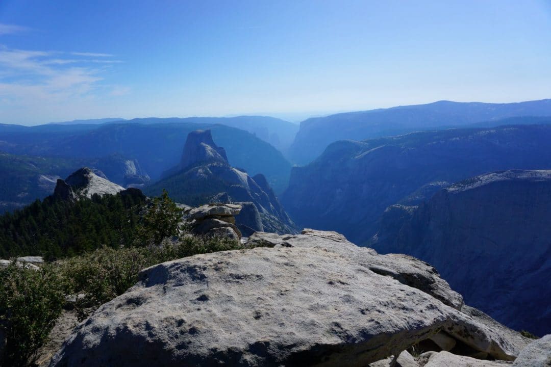
I awoke some minutes later, better rested, to find that I was on top of the world. All around me was the splendor of Yosemite. Yosemite Valley, Tuolumne and the High Sierra was in view. I was high enough to look down on Half Dome. Distinct Landmarks, like Cathedral Peak, Tenaya Lake, Sentinel Dome and Mt. Hoffman, lined the Horizon.
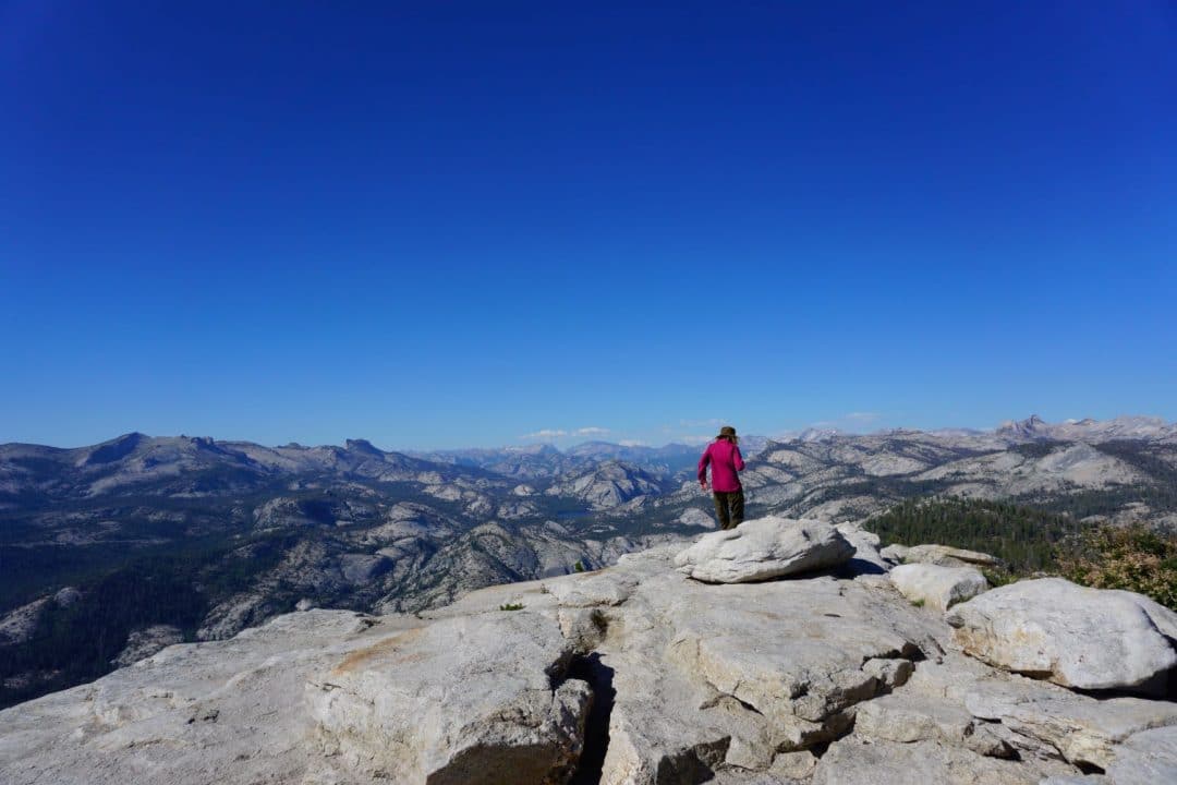
At the top, it is 4,000 vertical feet to the bottom of Tenaya Canyon (in case you’re interested, yes there are indeed climbing routes that ascend the northern face of Clouds Rest). The eye is drawn downstream- through the U-shaped valley. Granite walls frame your southwestern view. You might notice Mirror Lake, sitting pretty near the mouth of Tenaya Canyon.
On the day that I climbed Clouds Rest, the sun illuminated the hazy afternoon. The view was almost heavenly. Cloud’s Rest is a fitting name for a such a high point.
Clouds Rest is a prominent point. The view from the top is among the best in the park-better than from Yosemite Falls, or even Half Dome. It is second only to the lofty heights of Mt. Dana. Taking the time to hike up here is well worth it. As one of my last hikes in the park for the 2019 summer season, it felt appropriate to end it on a literal high note.
Let it be known that Clouds Rest might have the best napping spots. The decreased oxygen levels probably had something to do with making me feel extra sleepy.
Cloud’s Rest Vs. Half Dome
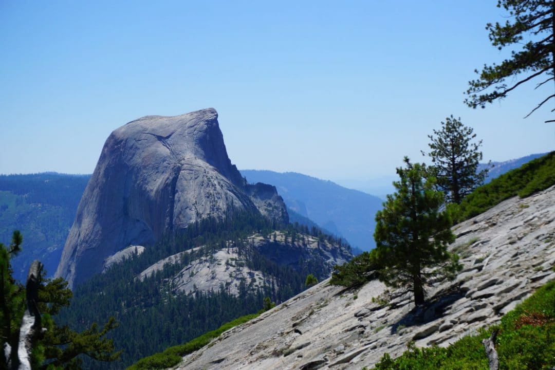
A choice that commonly weighs heavily in many hikers minds is whether they should hike Half Dome, or Clouds Rest. Both are excellent hikes, each presenting their own unique challenges. In a perfect world, hiking both would be the ideal option. Alas, not every hiker has the time, energy, or permits to claim both summits.
To help you decide on which hike is best for your Yosemite trip, I’ll lay out the advantages and disadvantages of each trail
Clouds Rest Pros
- No Permit Required
- Better Views
- Less Exposed Trail-there are cables to grasp, and no frightened hikers to hold up the line
- Far fewer people on the trail to Clouds Rest-great for Introverts!
Half Dome Pros
- Accessed by a shorter, slightly easier trail
- Climbing the Half Dome Cables are an unforgettable experience
- Half Dome is considered to be a more classic Yosemite summit
- You’ll be sharing the trail with many other hikers, making for a more social experience
- Securing a permit can be tricky, but it guarantees that you can access the top. You Can Find Permits Here.
Hiking Half Dome is an unforgettable experience, but I’d choose Clouds Rest any day of the week, if only for the solitude. The Half Dome Permit system, however necessary, is just an extra bureaucratic hoop that I’d rather not jump through. However, I will say that if it is your first time hiking in Yosemite, and you have the permit, then take the trip to Half Dome instead.
Oh, and if you happened to not score a Half Dome Permit from the pre-season lottery, there are still other ways to get yourself to the top of Half Dome.
Vlog-Coming Soon! (Maybe)
The Clouds Rest Hike marks my first foray into vlogging. Every so often, I’d turn on the camera and narrate my experience hiking the trail. One day, once I figure out how to edit it, I’ll post the video, and use it to introduce the new Hike The Planet! Youtube Channel-where you can watch me suffer on these long hikes, instead of just reading about them.
Why You Should Hike to Clouds Rest
Hiking to Cloud’s Rest, whether from Yosemite Valley or Tuolumne, will likely prove to be the most rewarding hike in all of the park. Cloud’s Rest may just be the best summit around-it is the feeling of bagging a peak, without any scrambling or technical climbing. Instead, it is a long, challenging day hike, and is a worthy goal for hikers of all skill levels, rewarded with a 360 degree panorama. From jagged peaks to gentle rivers, nearly all of the southern half of Yosemite is within view.
Get the Gear
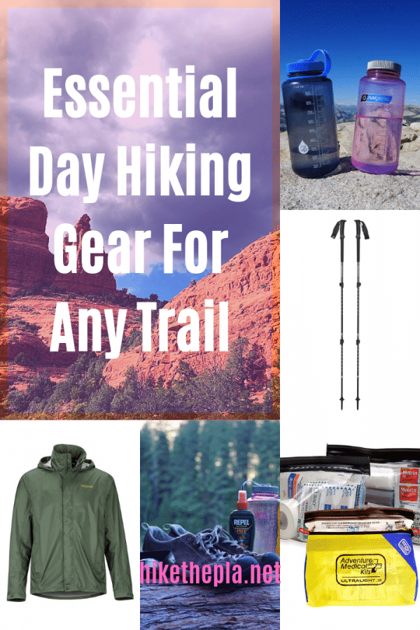
Clouds Rest is a long, tough hike. Throughout it’s length and climb, hikers will encounter just about every type of terrain that Yosemite has to offer-from the tourist choked valley floor, to High Sierra Alpine conditions. The only way to properly prepare for such a varied trail is to ensure that you have all the gear you need before you begin your hike.
That’s why I’ve put together a List of Essential Hiking Gear Perfect For Any Trail. I’ve hiked nearly every trail in the park, and I know what gear is needed, and what you can leave behind.
- The Best Campsites Around Big Bear California - February 26, 2021
- Hiking to the Hollywood Sign Via the Brush Canyon Trail - July 13, 2020
- Dirt Cheap Hiking and Backpacking Gear: The Most Affordable Gear on the Internet - July 4, 2020

thanks for the thorough write-up!! i think we’ll do it — curious, roughly how long did the end to end take you (minus nap time 😉 )
Hello!
Including water breaks, photo opportunities, and rest stops, it took me about 5 hours to reach the summit. Going back downhill to The Valley, it took me another 3 hours. All told, it was a solid 10 hour day of adventure!
Hope that answers your question!